Topographical Map - Colorado Central Economic Sheet - US Army 1879 - Vintage Wall Art
Topographical Map - Colorado Central Economic Sheet - US Army 1879 - Vintage Wall Art


Product Number: SKU:COZZ0015-2
Shipping: print gets shipped rolled
Couldn't load pickup availability

-
Description
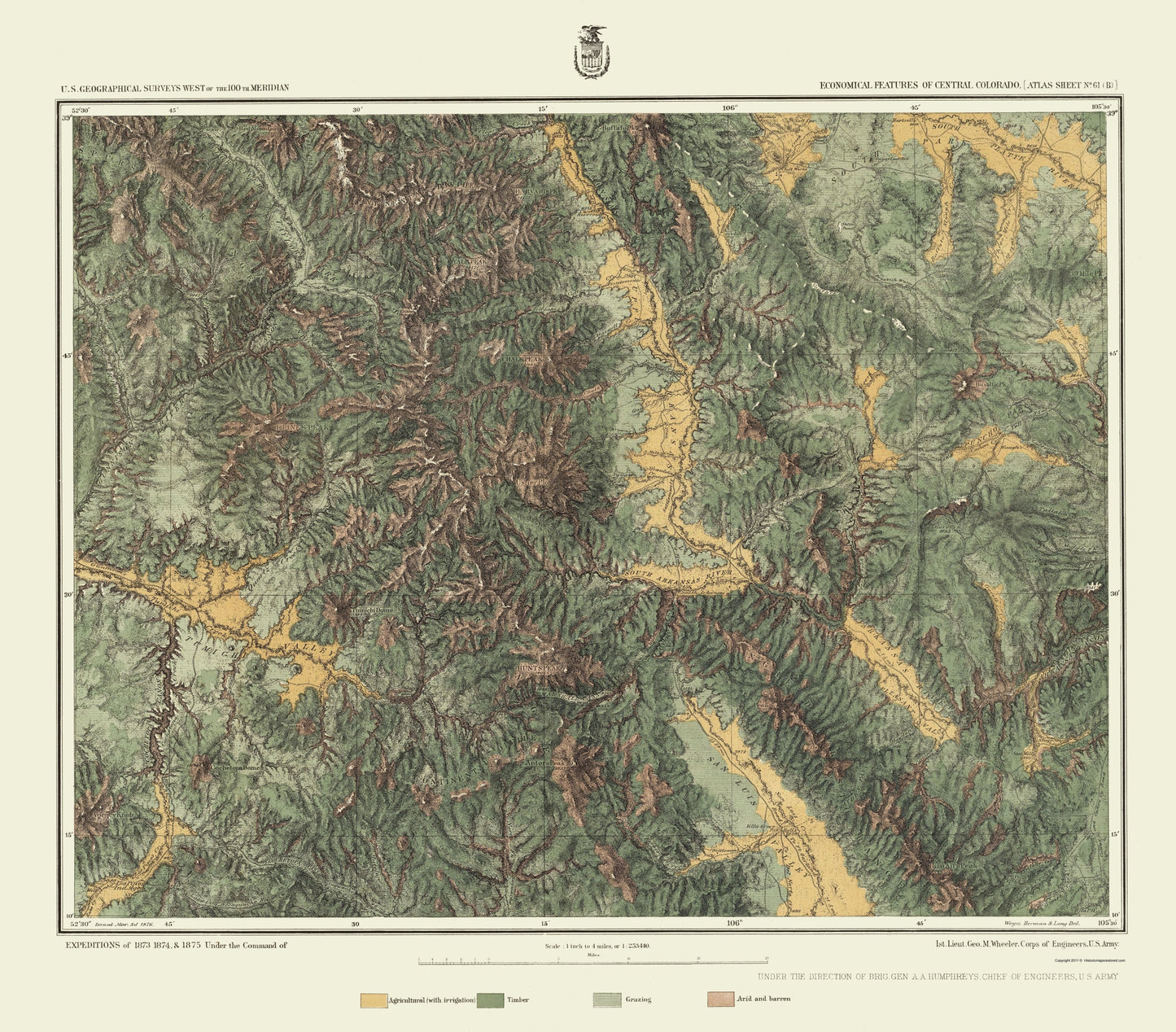
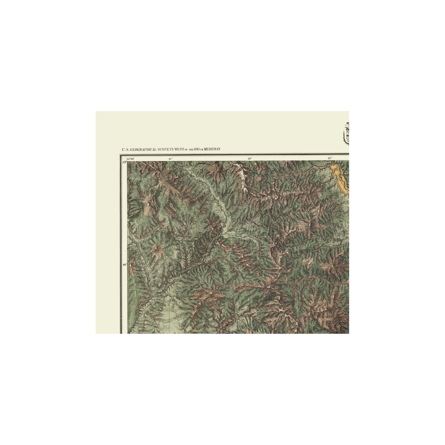
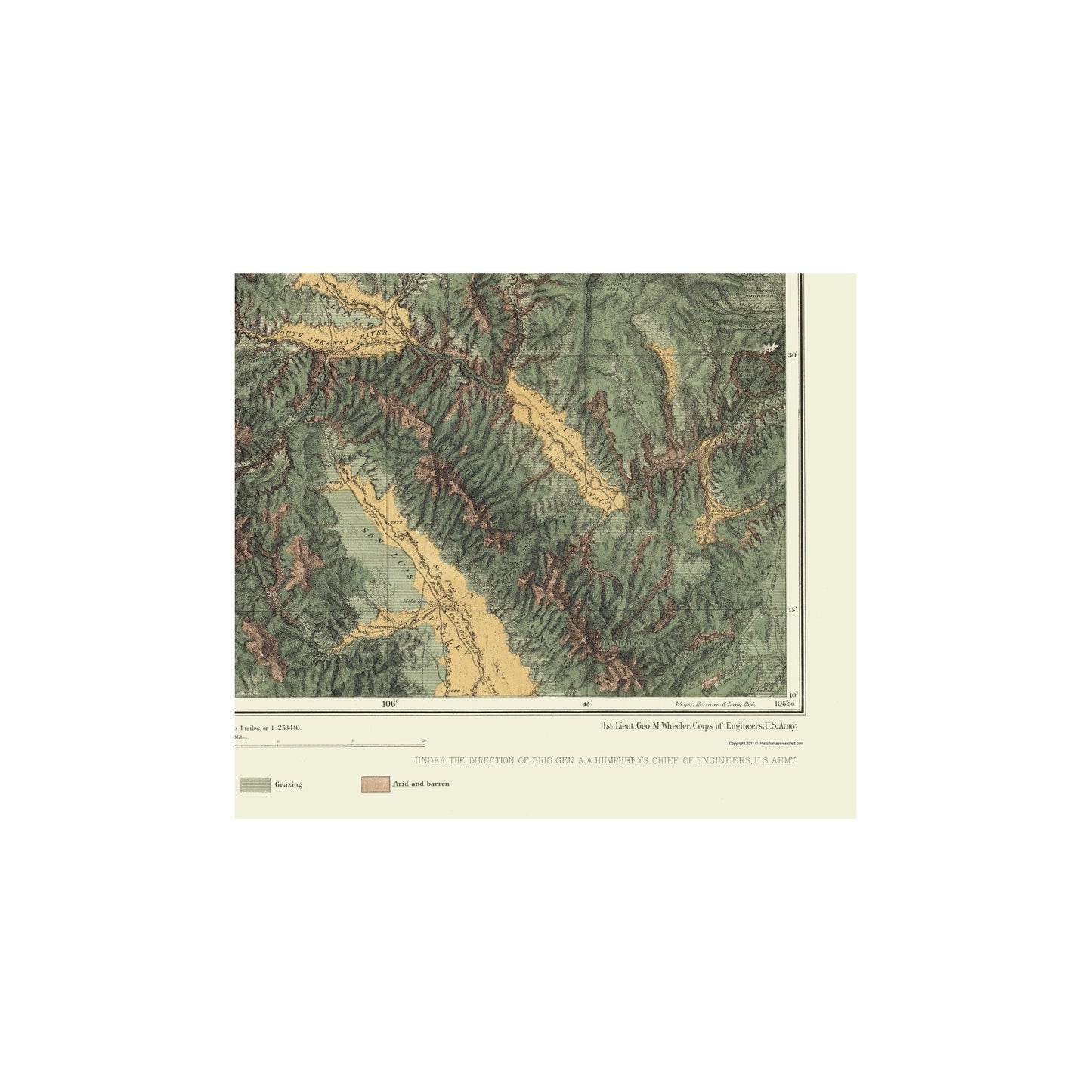
Topographical Map - Central Colorado Economic - US Army 1879 - This is an exquisite full-color Reproduction printed on high-quality gloss paper, art paper or canvas.
Sites and Townships Specific To This Map Are: Hillerton, Riverside, Helena, Arkansas, Buena Vista, Salida, Mulock, Arbourville, Maysville, Centerville, Clafton, Forest City, Alpine, Hancock, Babcock, Garfield, Monarch, Howeville, Tunichi and many others.
The following towns are featured: the Park and Pacific R.R., Denver South Park and Pacific R.R., Pueblo and Arkansas Valley R.R., East River, Arkansas River, Platte River, Cement Creek, Spring Creek, Pass Creek, Cottonwood Creek, Trout Creek, Seven Mile Creek, Herring Creek, Tallahassee Creek, Three Mile Creek, Squaw Creek, Sand Creek, Brown's Creek, Gas Creek, Saguache Mountain Range, Guache Mountain Range, Elk Mountains, Italian Peak, Red Peak, Harvard Peak, Yale Peak, Marmot Peak, 39 mile Peak, Basaltic Peak, Kline's Peak, Shavano Peak, Antero Peak, Big Spring, Taylor Park, Park Cone, Union Park, Twin Lake Pass, Cottonwood Creek Pass, Tell Lake, Trout Creek Pass, Alkali Pond, Sugar Loaf, Salt Spring, Southern Rim of South Park, Buffa
SKU: COZZ0015
Original Maps are often difficult to find and usually have fold lines, identifying stamps or markings, tears, ragged edges, and assorted other natural signs of age that detract from their beauty. All of our maps have been professionally restored to depict their original beauty, while keeping all historical data intact.
These maps are fabulous pieces of history full of information useful to Historians, Genealogists, Cartographers, Relic Hunters, & Others. They make fascinating conversation pieces and splendid works of art for the home or office. -
Bullet Points
-
Print Quality Details
Giclée Printing Process
“A giclée (zhee-clay) reproduction is the closest duplication of an original artwork that is humanly or technically achievable. We have used the giclee printing process on both the Ultrasmooth Fine Art Paper and the Cotton Canvas options to create truly magnificent map prints, the quality of which is recognized by museums and galleries around the world. Read more about Giclee Prints here.
Glossy Satin Photo
This is a very high quality, photo-grade, 8 mil thick paper. It is considered a "matte" finish, however it does have a slight sheen to it. It is a very nice paper and produces extremely attractive maps.
Matte Art
This archival fine-art media has the look and feel of old-world handmade paper and is great for producing sharp, accurate reproductions. The Giclee process, combined with a 8 mil thick paper, creates magnificent historical maps guaranteed not to fade, yellow, or crack for more than 100 years. The quality of these matte-finish maps is recognized by museums and galleries around the world.
Sites and Townships Specific To This Map Are: Hillerton, Riverside, Helena, Arkansas, Buena Vista, Salida, Mulock, Arbourville, Maysville, Centerville, Clafton, Forest City, Alpine, Hancock, Babcock, Garfield, Monarch, Howeville, Tunichi and many others.
The following towns are featured: the Park and Pacific R.R., Denver South Park and Pacific R.R., Pueblo and Arkansas Valley R.R., East River, Arkansas River, Platte River, Cement Creek, Spring Creek, Pass Creek, Cottonwood Creek, Trout Creek, Seven Mile Creek, Herring Creek, Tallahassee Creek, Three Mile Creek, Squaw Creek, Sand Creek, Brown's Creek, Gas Creek, Saguache Mountain Range, Guache Mountain Range, Elk Mountains, Italian Peak, Red Peak, Harvard Peak, Yale Peak, Marmot Peak, 39 mile Peak, Basaltic Peak, Kline's Peak, Shavano Peak, Antero Peak, Big Spring, Taylor Park, Park Cone, Union Park, Twin Lake Pass, Cottonwood Creek Pass, Tell Lake, Trout Creek Pass, Alkali Pond, Sugar Loaf, Salt Spring, Southern Rim of South Park, Buffa
SKU: COZZ0015
Original Maps are often difficult to find and usually have fold lines, identifying stamps or markings, tears, ragged edges, and assorted other natural signs of age that detract from their beauty. All of our maps have been professionally restored to depict their original beauty, while keeping all historical data intact.
These maps are fabulous pieces of history full of information useful to Historians, Genealogists, Cartographers, Relic Hunters, & Others. They make fascinating conversation pieces and splendid works of art for the home or office.
Giclée Printing Process
“A giclée (zhee-clay) reproduction is the closest duplication of an original artwork that is humanly or technically achievable. We have used the giclee printing process on both the Ultrasmooth Fine Art Paper and the Cotton Canvas options to create truly magnificent map prints, the quality of which is recognized by museums and galleries around the world. Read more about Giclee Prints here.
Glossy Satin Photo
This is a very high quality, photo-grade, 8 mil thick paper. It is considered a "matte" finish, however it does have a slight sheen to it. It is a very nice paper and produces extremely attractive maps.
Matte Art
This archival fine-art media has the look and feel of old-world handmade paper and is great for producing sharp, accurate reproductions. The Giclee process, combined with a 8 mil thick paper, creates magnificent historical maps guaranteed not to fade, yellow, or crack for more than 100 years. The quality of these matte-finish maps is recognized by museums and galleries around the world.