Historic Map - Brazil Coast - Blaeu 1662 - Vintage Wall Art
Historic Map - Brazil Coast - Blaeu 1662 - Vintage Wall Art


Product Number: SKU:ITBR0014-2
Shipping: print gets shipped rolled
Couldn't load pickup availability


-
Description
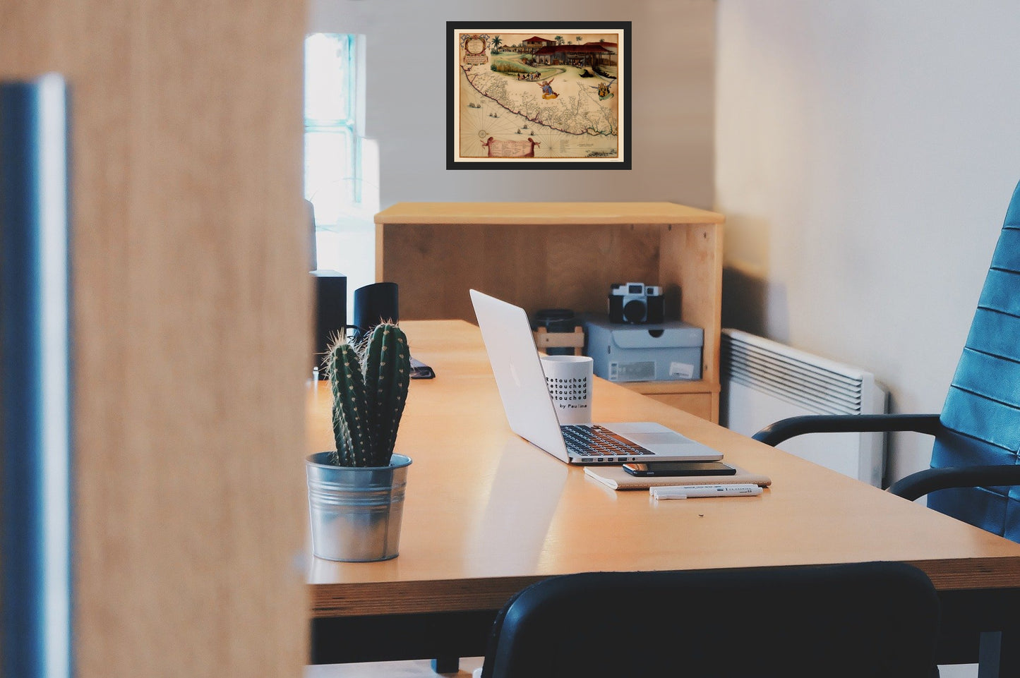
Old South America Map - Brazil Coast - Blaeu 1662 - This is an exquisite full-color Reproduction printed on high-quality gloss paper, art paper or canvas.
The following towns are featured: an old color example of the Johannes Blaeu edition of Barleus' map of a portion of Brazil, which first appeared in Barleus's from his ervm per Octennivm in Brasilia et alibi nuper gesterum sub Praefectura Illustrissimi Comitis I. Mavritii, Nassoviae, &c‡published by Blaeu in 1647. This spectacular map of the Brazilian coastline covers the capitanias of Pernambuca and I. Tamarica. This map is one the first maps of Brazil based on Dutch rather than Portuguese interest. The Dutch West India Company, appointed Count Johan Maurits Governor-General of Dutch Brazil in 1636. He remained in power until 1644. Upon Maurits return to Europe, he commissioned Kaspar van Baerle to document the flora and fauna, climate, inhabitants, religion, and languages of the coastal provinces of Brazil. The resulting work, Rerum per octennium in Brasilia published by Blaeu, is one of the finest works of Brazil ever produced. The maps in this work, with altera
SKU: ITBR0014
Original Maps are often difficult to find and usually have fold lines, identifying stamps or markings, tears, ragged edges, and assorted other natural signs of age that detract from their beauty. All of our maps have been professionally restored to depict their original beauty, while keeping all historical data intact.
These maps are fabulous pieces of history full of information useful to Historians, Genealogists, Cartographers, Relic Hunters, & Others. They make fascinating conversation pieces and splendid works of art for the home or office. -
Bullet Points
-
Print Quality Details
Giclée Printing Process
“A giclée (zhee-clay) reproduction is the closest duplication of an original artwork that is humanly or technically achievable. We have used the giclee printing process on both the Ultrasmooth Fine Art Paper and the Cotton Canvas options to create truly magnificent map prints, the quality of which is recognized by museums and galleries around the world. Read more about Giclee Prints here.
Glossy Satin Photo
This is a very high quality, photo-grade, 8 mil thick paper. It is considered a "matte" finish, however it does have a slight sheen to it. It is a very nice paper and produces extremely attractive maps.
Matte Art
This archival fine-art media has the look and feel of old-world handmade paper and is great for producing sharp, accurate reproductions. The Giclee process, combined with a 8 mil thick paper, creates magnificent historical maps guaranteed not to fade, yellow, or crack for more than 100 years. The quality of these matte-finish maps is recognized by museums and galleries around the world.
The following towns are featured: an old color example of the Johannes Blaeu edition of Barleus' map of a portion of Brazil, which first appeared in Barleus's from his ervm per Octennivm in Brasilia et alibi nuper gesterum sub Praefectura Illustrissimi Comitis I. Mavritii, Nassoviae, &c‡published by Blaeu in 1647. This spectacular map of the Brazilian coastline covers the capitanias of Pernambuca and I. Tamarica. This map is one the first maps of Brazil based on Dutch rather than Portuguese interest. The Dutch West India Company, appointed Count Johan Maurits Governor-General of Dutch Brazil in 1636. He remained in power until 1644. Upon Maurits return to Europe, he commissioned Kaspar van Baerle to document the flora and fauna, climate, inhabitants, religion, and languages of the coastal provinces of Brazil. The resulting work, Rerum per octennium in Brasilia published by Blaeu, is one of the finest works of Brazil ever produced. The maps in this work, with altera
SKU: ITBR0014
Original Maps are often difficult to find and usually have fold lines, identifying stamps or markings, tears, ragged edges, and assorted other natural signs of age that detract from their beauty. All of our maps have been professionally restored to depict their original beauty, while keeping all historical data intact.
These maps are fabulous pieces of history full of information useful to Historians, Genealogists, Cartographers, Relic Hunters, & Others. They make fascinating conversation pieces and splendid works of art for the home or office.
Giclée Printing Process
“A giclée (zhee-clay) reproduction is the closest duplication of an original artwork that is humanly or technically achievable. We have used the giclee printing process on both the Ultrasmooth Fine Art Paper and the Cotton Canvas options to create truly magnificent map prints, the quality of which is recognized by museums and galleries around the world. Read more about Giclee Prints here.
Glossy Satin Photo
This is a very high quality, photo-grade, 8 mil thick paper. It is considered a "matte" finish, however it does have a slight sheen to it. It is a very nice paper and produces extremely attractive maps.
Matte Art
This archival fine-art media has the look and feel of old-world handmade paper and is great for producing sharp, accurate reproductions. The Giclee process, combined with a 8 mil thick paper, creates magnificent historical maps guaranteed not to fade, yellow, or crack for more than 100 years. The quality of these matte-finish maps is recognized by museums and galleries around the world.