Historic Map - Caribbean Honduras Nicaragua - Lopez 1755 - Vintage Wall Art
Historic Map - Caribbean Honduras Nicaragua - Lopez 1755 - Vintage Wall Art


Product Number: SKU:ITGU0004-2
Shipping: print gets shipped rolled
Couldn't load pickup availability


-
Description
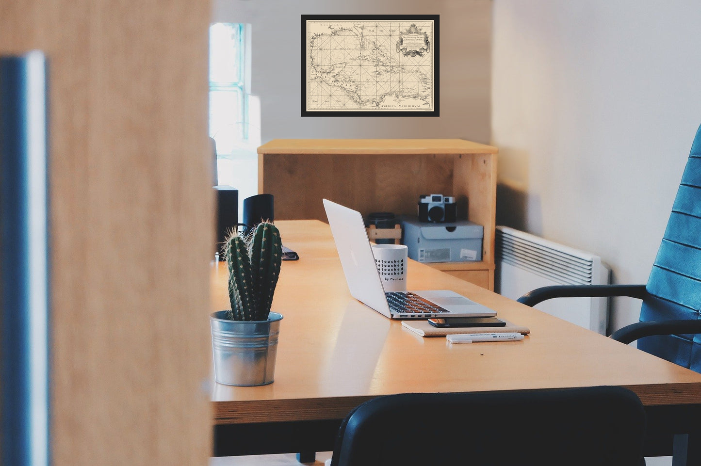
Old Caribbean Map - Gulf of Mexico and Caribbean - Lopez 1755 - This is an exquisite full-color Reproduction printed on high-quality gloss paper, art paper or canvas.
Sites and Townships Specific To This Map Are: Maracaybo, Cordova, Carthagena, La Habana, New Orleans, Pensacola, and others.
The following towns are featured: rare Spanish sea chart of Florida, Louisiana, the Gulf of Mexico Coast, and Caribbean Sea Coast, published in Madrid by Tomas Lopez. He was one the most important Spanish map-makers, was the official cartographer to the King of Spain during the second half of the 18th Century. This sea chart is one of a small handful relating to North America to be published in Spain during this period. The chart was published under the direction of Lopez and and Juan de la Cruz in Madrid in 1755 and is based on d'Anville's work. The geographical area depicted extends beyond the Caribbean to include Central America and the Caribbean, including the northern coast of South America. As is to be expected with a maritime chart, the northern portion of the gulf shows only coastal features, with Florida drawn as a series of closely associated islands on the eastern and s
SKU: ITGU0004
Original Maps are often difficult to find and usually have fold lines, identifying stamps or markings, tears, ragged edges, and assorted other natural signs of age that detract from their beauty. All of our maps have been professionally restored to depict their original beauty, while keeping all historical data intact.
These maps are fabulous pieces of history full of information useful to Historians, Genealogists, Cartographers, Relic Hunters, & Others. They make fascinating conversation pieces and splendid works of art for the home or office. -
Bullet Points
-
Print Quality Details
Giclée Printing Process
“A giclée (zhee-clay) reproduction is the closest duplication of an original artwork that is humanly or technically achievable. We have used the giclee printing process on both the Ultrasmooth Fine Art Paper and the Cotton Canvas options to create truly magnificent map prints, the quality of which is recognized by museums and galleries around the world. Read more about Giclee Prints here.
Glossy Satin Photo
This is a very high quality, photo-grade, 8 mil thick paper. It is considered a "matte" finish, however it does have a slight sheen to it. It is a very nice paper and produces extremely attractive maps.
Matte Art
This archival fine-art media has the look and feel of old-world handmade paper and is great for producing sharp, accurate reproductions. The Giclee process, combined with a 8 mil thick paper, creates magnificent historical maps guaranteed not to fade, yellow, or crack for more than 100 years. The quality of these matte-finish maps is recognized by museums and galleries around the world.
Sites and Townships Specific To This Map Are: Maracaybo, Cordova, Carthagena, La Habana, New Orleans, Pensacola, and others.
The following towns are featured: rare Spanish sea chart of Florida, Louisiana, the Gulf of Mexico Coast, and Caribbean Sea Coast, published in Madrid by Tomas Lopez. He was one the most important Spanish map-makers, was the official cartographer to the King of Spain during the second half of the 18th Century. This sea chart is one of a small handful relating to North America to be published in Spain during this period. The chart was published under the direction of Lopez and and Juan de la Cruz in Madrid in 1755 and is based on d'Anville's work. The geographical area depicted extends beyond the Caribbean to include Central America and the Caribbean, including the northern coast of South America. As is to be expected with a maritime chart, the northern portion of the gulf shows only coastal features, with Florida drawn as a series of closely associated islands on the eastern and s
SKU: ITGU0004
Original Maps are often difficult to find and usually have fold lines, identifying stamps or markings, tears, ragged edges, and assorted other natural signs of age that detract from their beauty. All of our maps have been professionally restored to depict their original beauty, while keeping all historical data intact.
These maps are fabulous pieces of history full of information useful to Historians, Genealogists, Cartographers, Relic Hunters, & Others. They make fascinating conversation pieces and splendid works of art for the home or office.
Giclée Printing Process
“A giclée (zhee-clay) reproduction is the closest duplication of an original artwork that is humanly or technically achievable. We have used the giclee printing process on both the Ultrasmooth Fine Art Paper and the Cotton Canvas options to create truly magnificent map prints, the quality of which is recognized by museums and galleries around the world. Read more about Giclee Prints here.
Glossy Satin Photo
This is a very high quality, photo-grade, 8 mil thick paper. It is considered a "matte" finish, however it does have a slight sheen to it. It is a very nice paper and produces extremely attractive maps.
Matte Art
This archival fine-art media has the look and feel of old-world handmade paper and is great for producing sharp, accurate reproductions. The Giclee process, combined with a 8 mil thick paper, creates magnificent historical maps guaranteed not to fade, yellow, or crack for more than 100 years. The quality of these matte-finish maps is recognized by museums and galleries around the world.