Historic Map - Kennemerland West Friesland Netherlands - Dou 1682 - Vintage Wall Art
Historic Map - Kennemerland West Friesland Netherlands - Dou 1682 - Vintage Wall Art


Product Number: SKU:ITKE0002-2
Shipping: print gets shipped rolled
Couldn't load pickup availability


-
Description
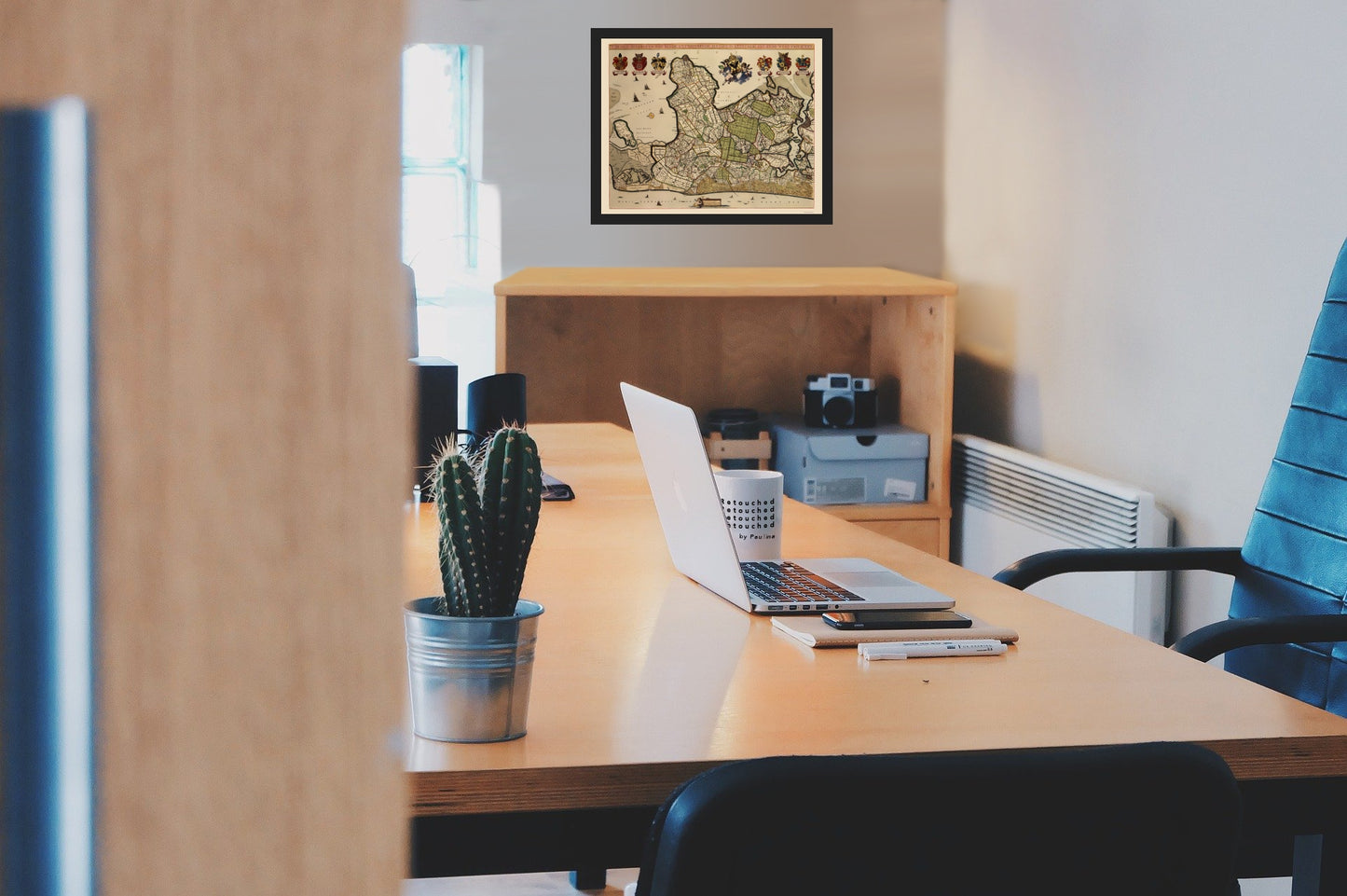
Old Netherlands Map - Kennemerland, West Friesland - Dou 1682 - This is an exquisite full-color Reproduction printed on high-quality gloss paper, art paper or canvas.
The following towns are featured: detailed water board (commission) map of the North part of Holland, based upon one by Johannes Dou, published in 1680. Abraham Deur was responsible for cutting the letters. This map was utilized to record the location of the many canals and land owners in the region depicted, in order to to allow the water board to assess taxes and make other decisions. It is a typical example of the cartography of river maps. In order to be able to protect the lower area in Holland against the sea and rivers, there were several water commissions in West-Netherlands, responsible for the management and care of the territory. The top is decorated with coats of arms of the representatives of the polder board of commissioners, Joan van Egmont van der Nyenburch, Auwel Prins, Frederick Ramp, Pieter Vryburgh, Joan Roocker and Willem Baert.
This Map is Situated in: Netherlands, Europe.
SKU: ITKE0002
Original Maps are often difficult to find and usually have fold lines, identifying stamps or markings, tears, ragged edges, and assorted other natural signs of age that detract from their beauty. All of our maps have been professionally restored to depict their original beauty, while keeping all historical data intact.
These maps are fabulous pieces of history full of information useful to Historians, Genealogists, Cartographers, Relic Hunters, & Others. They make fascinating conversation pieces and splendid works of art for the home or office. -
Bullet Points
-
Print Quality Details
Giclée Printing Process
“A giclée (zhee-clay) reproduction is the closest duplication of an original artwork that is humanly or technically achievable. We have used the giclee printing process on both the Ultrasmooth Fine Art Paper and the Cotton Canvas options to create truly magnificent map prints, the quality of which is recognized by museums and galleries around the world. Read more about Giclee Prints here.
Glossy Satin Photo
This is a very high quality, photo-grade, 8 mil thick paper. It is considered a "matte" finish, however it does have a slight sheen to it. It is a very nice paper and produces extremely attractive maps.
Matte Art
This archival fine-art media has the look and feel of old-world handmade paper and is great for producing sharp, accurate reproductions. The Giclee process, combined with a 8 mil thick paper, creates magnificent historical maps guaranteed not to fade, yellow, or crack for more than 100 years. The quality of these matte-finish maps is recognized by museums and galleries around the world.
The following towns are featured: detailed water board (commission) map of the North part of Holland, based upon one by Johannes Dou, published in 1680. Abraham Deur was responsible for cutting the letters. This map was utilized to record the location of the many canals and land owners in the region depicted, in order to to allow the water board to assess taxes and make other decisions. It is a typical example of the cartography of river maps. In order to be able to protect the lower area in Holland against the sea and rivers, there were several water commissions in West-Netherlands, responsible for the management and care of the territory. The top is decorated with coats of arms of the representatives of the polder board of commissioners, Joan van Egmont van der Nyenburch, Auwel Prins, Frederick Ramp, Pieter Vryburgh, Joan Roocker and Willem Baert.
This Map is Situated in: Netherlands, Europe.
SKU: ITKE0002
Original Maps are often difficult to find and usually have fold lines, identifying stamps or markings, tears, ragged edges, and assorted other natural signs of age that detract from their beauty. All of our maps have been professionally restored to depict their original beauty, while keeping all historical data intact.
These maps are fabulous pieces of history full of information useful to Historians, Genealogists, Cartographers, Relic Hunters, & Others. They make fascinating conversation pieces and splendid works of art for the home or office.
Giclée Printing Process
“A giclée (zhee-clay) reproduction is the closest duplication of an original artwork that is humanly or technically achievable. We have used the giclee printing process on both the Ultrasmooth Fine Art Paper and the Cotton Canvas options to create truly magnificent map prints, the quality of which is recognized by museums and galleries around the world. Read more about Giclee Prints here.
Glossy Satin Photo
This is a very high quality, photo-grade, 8 mil thick paper. It is considered a "matte" finish, however it does have a slight sheen to it. It is a very nice paper and produces extremely attractive maps.
Matte Art
This archival fine-art media has the look and feel of old-world handmade paper and is great for producing sharp, accurate reproductions. The Giclee process, combined with a 8 mil thick paper, creates magnificent historical maps guaranteed not to fade, yellow, or crack for more than 100 years. The quality of these matte-finish maps is recognized by museums and galleries around the world.