Historic Map - Martinique Dominica France - Thomson 1814 - Vintage Wall Art
Historic Map - Martinique Dominica France - Thomson 1814 - Vintage Wall Art


Product Number: SKU:ITMA0003-2
Shipping: print gets shipped rolled
Couldn't load pickup availability


-
Description
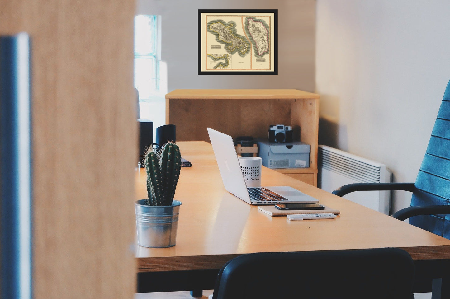
Old Caribbean Map - Martinique and Dominica - Thomson 1814 - This is an exquisite full-color Reproduction printed on high-quality gloss paper, art paper or canvas.
The following towns are featured: an example of John Thomson's 1814 map of the West India islands of Dominica and Martinique, divided into two sections. Both sections detail buildings noting churches, convents, villages, hospitals and forts. Some sailing hazards and portages are also shown. Both also show mountains, rivers, caves, forests, and river systems. In the lower left hand quadrant there is an inset of the Cul de Sac Royal (modern day Fort-de-France). It was engraved by Kirkwood and Son of Edinburgh for the 1817 edition of John Thomson's General Atlas.
This Map is Situated in: Caribbean Sea, Continent of North America.
SKU: ITMA0003
Original Maps are often difficult to find and usually have fold lines, identifying stamps or markings, tears, ragged edges, and assorted other natural signs of age that detract from their beauty. All of our maps have been professionally restored to depict their original beauty, while keeping all historical data intact.
These maps are fabulous pieces of history full of information useful to Historians, Genealogists, Cartographers, Relic Hunters, & Others. They make fascinating conversation pieces and splendid works of art for the home or office. -
Bullet Points
-
Print Quality Details
Giclée Printing Process
“A giclée (zhee-clay) reproduction is the closest duplication of an original artwork that is humanly or technically achievable. We have used the giclee printing process on both the Ultrasmooth Fine Art Paper and the Cotton Canvas options to create truly magnificent map prints, the quality of which is recognized by museums and galleries around the world. Read more about Giclee Prints here.
Glossy Satin Photo
This is a very high quality, photo-grade, 8 mil thick paper. It is considered a "matte" finish, however it does have a slight sheen to it. It is a very nice paper and produces extremely attractive maps.
Matte Art
This archival fine-art media has the look and feel of old-world handmade paper and is great for producing sharp, accurate reproductions. The Giclee process, combined with a 8 mil thick paper, creates magnificent historical maps guaranteed not to fade, yellow, or crack for more than 100 years. The quality of these matte-finish maps is recognized by museums and galleries around the world.
The following towns are featured: an example of John Thomson's 1814 map of the West India islands of Dominica and Martinique, divided into two sections. Both sections detail buildings noting churches, convents, villages, hospitals and forts. Some sailing hazards and portages are also shown. Both also show mountains, rivers, caves, forests, and river systems. In the lower left hand quadrant there is an inset of the Cul de Sac Royal (modern day Fort-de-France). It was engraved by Kirkwood and Son of Edinburgh for the 1817 edition of John Thomson's General Atlas.
This Map is Situated in: Caribbean Sea, Continent of North America.
SKU: ITMA0003
Original Maps are often difficult to find and usually have fold lines, identifying stamps or markings, tears, ragged edges, and assorted other natural signs of age that detract from their beauty. All of our maps have been professionally restored to depict their original beauty, while keeping all historical data intact.
These maps are fabulous pieces of history full of information useful to Historians, Genealogists, Cartographers, Relic Hunters, & Others. They make fascinating conversation pieces and splendid works of art for the home or office.
Giclée Printing Process
“A giclée (zhee-clay) reproduction is the closest duplication of an original artwork that is humanly or technically achievable. We have used the giclee printing process on both the Ultrasmooth Fine Art Paper and the Cotton Canvas options to create truly magnificent map prints, the quality of which is recognized by museums and galleries around the world. Read more about Giclee Prints here.
Glossy Satin Photo
This is a very high quality, photo-grade, 8 mil thick paper. It is considered a "matte" finish, however it does have a slight sheen to it. It is a very nice paper and produces extremely attractive maps.
Matte Art
This archival fine-art media has the look and feel of old-world handmade paper and is great for producing sharp, accurate reproductions. The Giclee process, combined with a 8 mil thick paper, creates magnificent historical maps guaranteed not to fade, yellow, or crack for more than 100 years. The quality of these matte-finish maps is recognized by museums and galleries around the world.