Historic Map - North America New Spain Mexico - 1702 - Vintage Wall Art
Historic Map - North America New Spain Mexico - 1702 - Vintage Wall Art


Product Number: SKU:ITMX0002-2
Shipping: print gets shipped rolled
Couldn't load pickup availability


-
Description
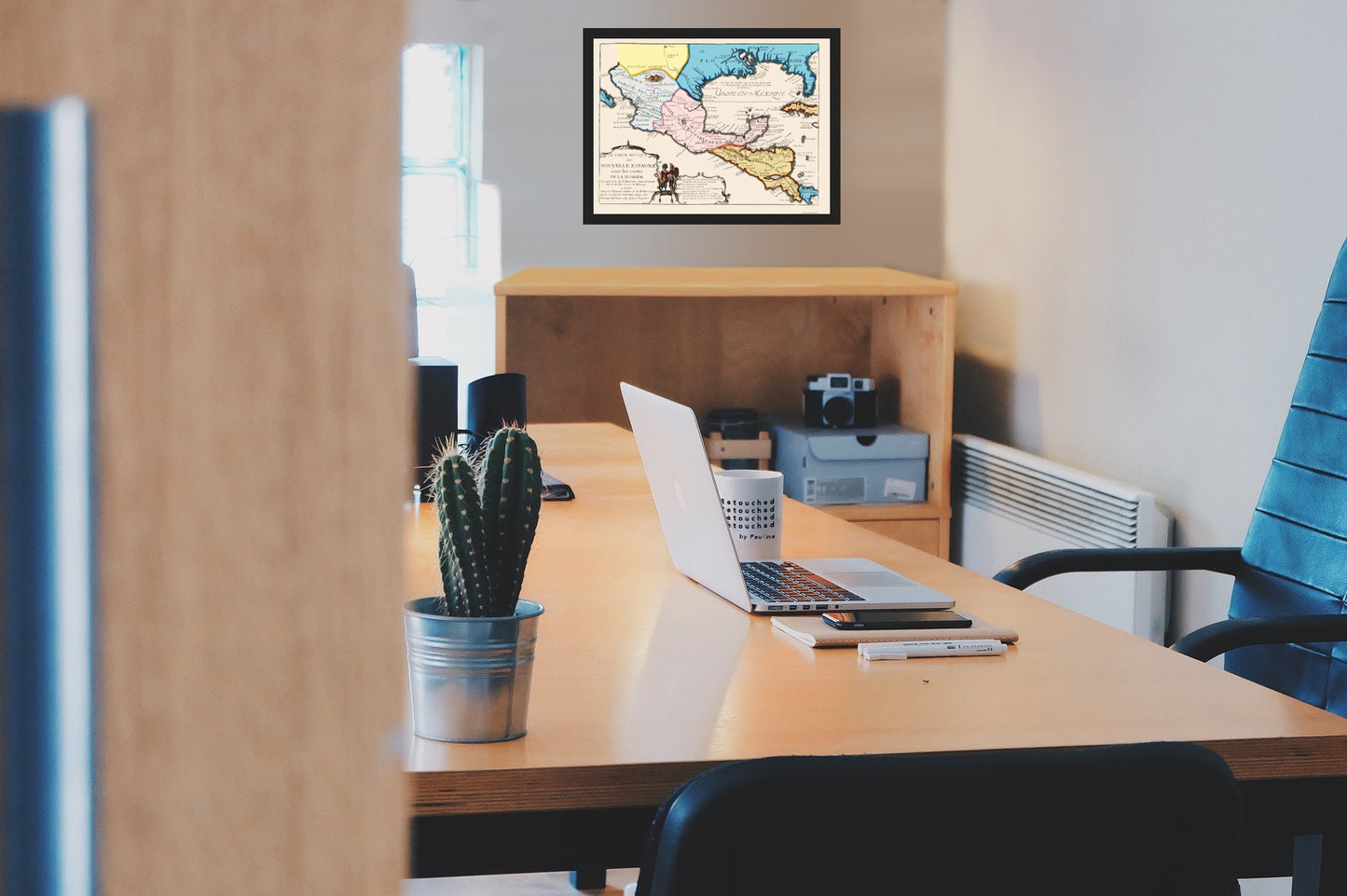
Old North America Map - New Spain - 1702 - This is an exquisite full-color Reproduction printed on high-quality gloss paper, art paper or canvas.
Sites and Townships Specific To This Map Are: When General Santa Ana declared himself dictator of Mexico, America refused to acknowledge his military authority, resulting in a conflict. This included the Republic of Texas in 1836 after the siege of the Alamo. Prior to that time, Spanish Mexico had occupied possession over a huge land area that included the majority of Western America. Beginning in 1841, Texas promoted colonization through migration from other states, culminating in Texas entering the union. This incited the Mexicans, which led to the Mexican War (1846-1848), which was fought over Texas land. After Mexico lost the war, Texas plus other border states and areas of land were taken over by the United States. California and other southwestern mexican possessions became part of the United States at this time.
The following towns are featured: Nombre de Dios, St. Martin, Los Zacatecas, St. Marie, Purification, Colina, Mechoacan, Valadotid, St. Michel, Senis, Potosya, St. Louis de Tempice, Panuco, C
SKU: ITMX0002
Original Maps are often difficult to find and usually have fold lines, identifying stamps or markings, tears, ragged edges, and assorted other natural signs of age that detract from their beauty. All of our maps have been professionally restored to depict their original beauty, while keeping all historical data intact.
These maps are fabulous pieces of history full of information useful to Historians, Genealogists, Cartographers, Relic Hunters, & Others. They make fascinating conversation pieces and splendid works of art for the home or office. -
Bullet Points
-
Print Quality Details
Giclée Printing Process
“A giclée (zhee-clay) reproduction is the closest duplication of an original artwork that is humanly or technically achievable. We have used the giclee printing process on both the Ultrasmooth Fine Art Paper and the Cotton Canvas options to create truly magnificent map prints, the quality of which is recognized by museums and galleries around the world. Read more about Giclee Prints here.
Glossy Satin Photo
This is a very high quality, photo-grade, 8 mil thick paper. It is considered a "matte" finish, however it does have a slight sheen to it. It is a very nice paper and produces extremely attractive maps.
Matte Art
This archival fine-art media has the look and feel of old-world handmade paper and is great for producing sharp, accurate reproductions. The Giclee process, combined with a 8 mil thick paper, creates magnificent historical maps guaranteed not to fade, yellow, or crack for more than 100 years. The quality of these matte-finish maps is recognized by museums and galleries around the world.
Sites and Townships Specific To This Map Are: When General Santa Ana declared himself dictator of Mexico, America refused to acknowledge his military authority, resulting in a conflict. This included the Republic of Texas in 1836 after the siege of the Alamo. Prior to that time, Spanish Mexico had occupied possession over a huge land area that included the majority of Western America. Beginning in 1841, Texas promoted colonization through migration from other states, culminating in Texas entering the union. This incited the Mexicans, which led to the Mexican War (1846-1848), which was fought over Texas land. After Mexico lost the war, Texas plus other border states and areas of land were taken over by the United States. California and other southwestern mexican possessions became part of the United States at this time.
The following towns are featured: Nombre de Dios, St. Martin, Los Zacatecas, St. Marie, Purification, Colina, Mechoacan, Valadotid, St. Michel, Senis, Potosya, St. Louis de Tempice, Panuco, C
SKU: ITMX0002
Original Maps are often difficult to find and usually have fold lines, identifying stamps or markings, tears, ragged edges, and assorted other natural signs of age that detract from their beauty. All of our maps have been professionally restored to depict their original beauty, while keeping all historical data intact.
These maps are fabulous pieces of history full of information useful to Historians, Genealogists, Cartographers, Relic Hunters, & Others. They make fascinating conversation pieces and splendid works of art for the home or office.
Giclée Printing Process
“A giclée (zhee-clay) reproduction is the closest duplication of an original artwork that is humanly or technically achievable. We have used the giclee printing process on both the Ultrasmooth Fine Art Paper and the Cotton Canvas options to create truly magnificent map prints, the quality of which is recognized by museums and galleries around the world. Read more about Giclee Prints here.
Glossy Satin Photo
This is a very high quality, photo-grade, 8 mil thick paper. It is considered a "matte" finish, however it does have a slight sheen to it. It is a very nice paper and produces extremely attractive maps.
Matte Art
This archival fine-art media has the look and feel of old-world handmade paper and is great for producing sharp, accurate reproductions. The Giclee process, combined with a 8 mil thick paper, creates magnificent historical maps guaranteed not to fade, yellow, or crack for more than 100 years. The quality of these matte-finish maps is recognized by museums and galleries around the world.