Historic Map - West Indies - Evening Post 1898 - Vintage Wall Art
Historic Map - West Indies - Evening Post 1898 - Vintage Wall Art


Product Number: SKU:ITWE0005-2
Shipping: print gets shipped rolled
Couldn't load pickup availability


-
Description
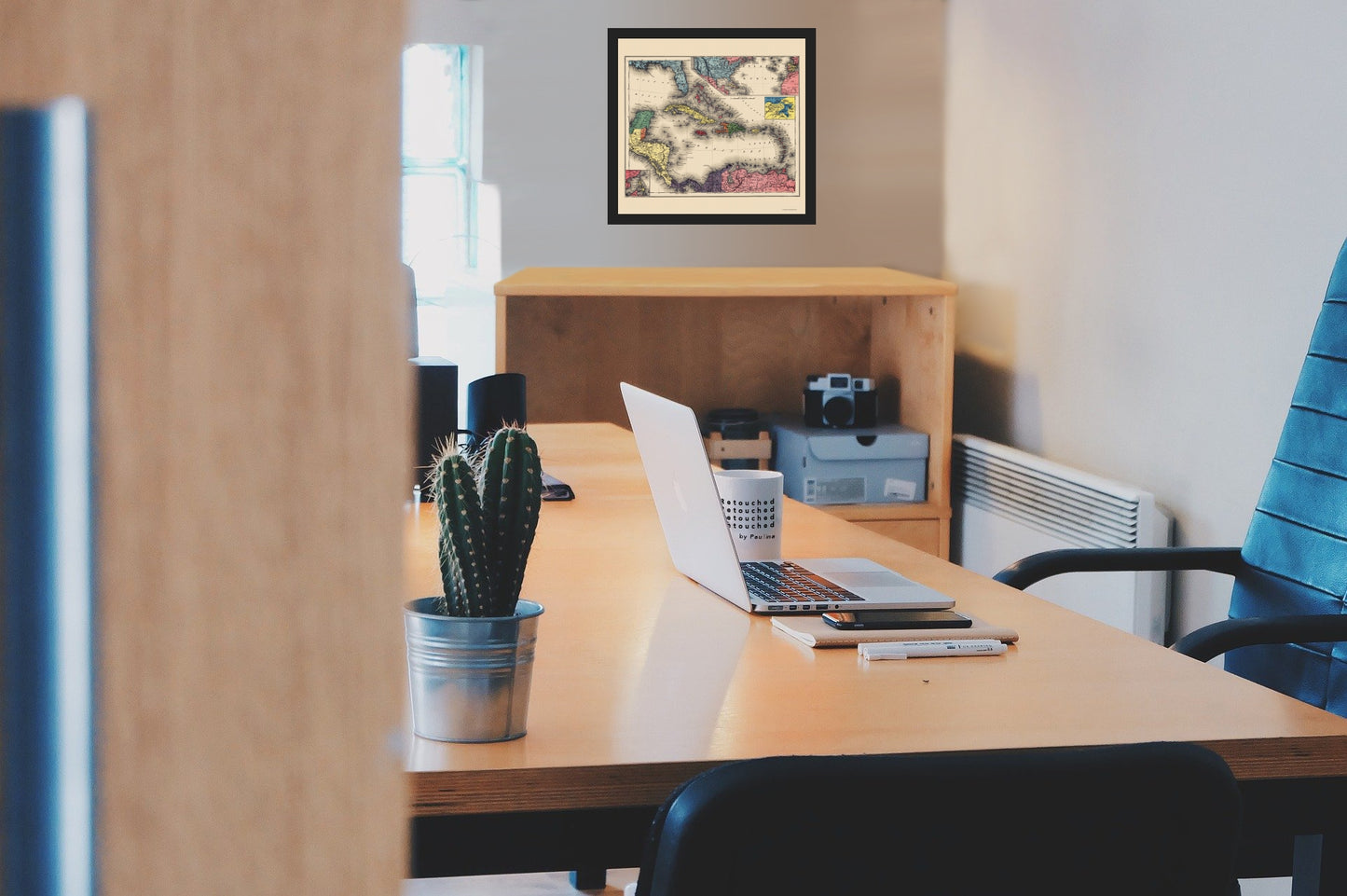
Old Caribbean Map - West Indies - Evening Post 1898 - This is an exquisite full-color Reproduction printed on high-quality gloss paper, art paper or canvas.
Sites and Townships Specific To This Map Are: Caracas, Maracaibo, Merida, Havana, Santo Domingo, San Juan, Tampa, and others.
The following towns are featured: printed during the Spanish-American War as a supplement to The Evening Post. This map is a good example of journalistic cartography. Its purpose was to educate the newspapers' readers and help them follow the course of the war just as modern newspapers publish maps and inserts to illustrate events of national and international interest. The insets of Havana and the Philippines may seem out of place, but are in fact quite timely; in May 1898, the United States was simultaneously sending troops to the Philippines and preparing for war with Cuba, both under Spanish control. With the United States undertaking territorial expansion in several parts of the world in 1898, this map would have been an indispensable guide for the American public to keep track of international developments.
This Map is Situated in: North & South America, Caribb
SKU: ITWE0005
Original Maps are often difficult to find and usually have fold lines, identifying stamps or markings, tears, ragged edges, and assorted other natural signs of age that detract from their beauty. All of our maps have been professionally restored to depict their original beauty, while keeping all historical data intact.
These maps are fabulous pieces of history full of information useful to Historians, Genealogists, Cartographers, Relic Hunters, & Others. They make fascinating conversation pieces and splendid works of art for the home or office. -
Bullet Points
-
Print Quality Details
Giclée Printing Process
“A giclée (zhee-clay) reproduction is the closest duplication of an original artwork that is humanly or technically achievable. We have used the giclee printing process on both the Ultrasmooth Fine Art Paper and the Cotton Canvas options to create truly magnificent map prints, the quality of which is recognized by museums and galleries around the world. Read more about Giclee Prints here.
Glossy Satin Photo
This is a very high quality, photo-grade, 8 mil thick paper. It is considered a "matte" finish, however it does have a slight sheen to it. It is a very nice paper and produces extremely attractive maps.
Matte Art
This archival fine-art media has the look and feel of old-world handmade paper and is great for producing sharp, accurate reproductions. The Giclee process, combined with a 8 mil thick paper, creates magnificent historical maps guaranteed not to fade, yellow, or crack for more than 100 years. The quality of these matte-finish maps is recognized by museums and galleries around the world.
Sites and Townships Specific To This Map Are: Caracas, Maracaibo, Merida, Havana, Santo Domingo, San Juan, Tampa, and others.
The following towns are featured: printed during the Spanish-American War as a supplement to The Evening Post. This map is a good example of journalistic cartography. Its purpose was to educate the newspapers' readers and help them follow the course of the war just as modern newspapers publish maps and inserts to illustrate events of national and international interest. The insets of Havana and the Philippines may seem out of place, but are in fact quite timely; in May 1898, the United States was simultaneously sending troops to the Philippines and preparing for war with Cuba, both under Spanish control. With the United States undertaking territorial expansion in several parts of the world in 1898, this map would have been an indispensable guide for the American public to keep track of international developments.
This Map is Situated in: North & South America, Caribb
SKU: ITWE0005
Original Maps are often difficult to find and usually have fold lines, identifying stamps or markings, tears, ragged edges, and assorted other natural signs of age that detract from their beauty. All of our maps have been professionally restored to depict their original beauty, while keeping all historical data intact.
These maps are fabulous pieces of history full of information useful to Historians, Genealogists, Cartographers, Relic Hunters, & Others. They make fascinating conversation pieces and splendid works of art for the home or office.
Giclée Printing Process
“A giclée (zhee-clay) reproduction is the closest duplication of an original artwork that is humanly or technically achievable. We have used the giclee printing process on both the Ultrasmooth Fine Art Paper and the Cotton Canvas options to create truly magnificent map prints, the quality of which is recognized by museums and galleries around the world. Read more about Giclee Prints here.
Glossy Satin Photo
This is a very high quality, photo-grade, 8 mil thick paper. It is considered a "matte" finish, however it does have a slight sheen to it. It is a very nice paper and produces extremely attractive maps.
Matte Art
This archival fine-art media has the look and feel of old-world handmade paper and is great for producing sharp, accurate reproductions. The Giclee process, combined with a 8 mil thick paper, creates magnificent historical maps guaranteed not to fade, yellow, or crack for more than 100 years. The quality of these matte-finish maps is recognized by museums and galleries around the world.