Historic Panoramic View - Charleston South Carolina - Drie 1872 - Vintage Wall Art
Historic Panoramic View - Charleston South Carolina - Drie 1872 - Vintage Wall Art


Product Number: SKU:SCCH0004-2
Shipping: print gets shipped rolled
Couldn't load pickup availability


-
Description
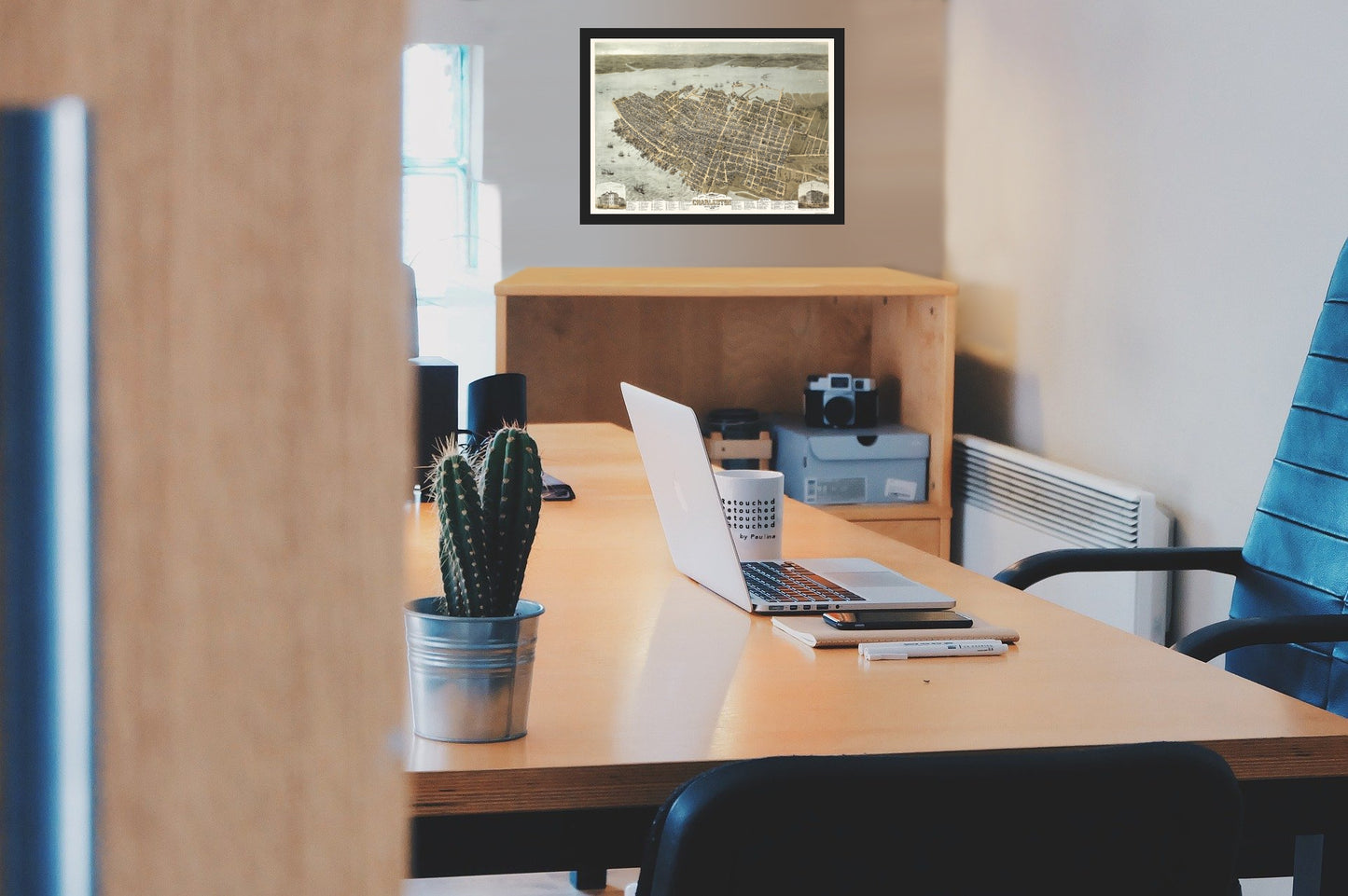
Panoramic Print - Charleston South Carolina - Drie 1872 - This is an exquisite full-color Reproduction printed on high-quality gloss paper, art paper or canvas.
Sites and Townships Specific To This Map Are: This map is the artists impression of how the city of Charleston was in 1872. This birds eye view of the city is looking from Mt. Pleasant southwest towards the Ashley River and St. James island and the small village of St. Andrew and is clearly a defining reference to a magnificent city as seen through this artists impression. This remarkable image shows the streets, roads, bridges, and harbor names, along with a reference index to prominent buildings including schools, churches, and government offices.
The following towns are featured: Charleston
This Map is Situated in: Charleston District, South Carolina (SC)
SKU: SCCH0004
Original Maps are often difficult to find and usually have fold lines, identifying stamps or markings, tears, ragged edges, and assorted other natural signs of age that detract from their beauty. All of our maps have been professionally restored to depict their original beauty, while keeping all historical data intact.
These maps are fabulous pieces of history full of information useful to Historians, Genealogists, Cartographers, Relic Hunters, & Others. They make fascinating conversation pieces and splendid works of art for the home or office. -
Bullet Points
-
Print Quality Details
Giclée Printing Process
“A giclée (zhee-clay) reproduction is the closest duplication of an original artwork that is humanly or technically achievable. We have used the giclee printing process on both the Ultrasmooth Fine Art Paper and the Cotton Canvas options to create truly magnificent map prints, the quality of which is recognized by museums and galleries around the world. Read more about Giclee Prints here.
Glossy Satin Photo
This is a very high quality, photo-grade, 8 mil thick paper. It is considered a "matte" finish, however it does have a slight sheen to it. It is a very nice paper and produces extremely attractive maps.
Matte Art
This archival fine-art media has the look and feel of old-world handmade paper and is great for producing sharp, accurate reproductions. The Giclee process, combined with a 8 mil thick paper, creates magnificent historical maps guaranteed not to fade, yellow, or crack for more than 100 years. The quality of these matte-finish maps is recognized by museums and galleries around the world.
Sites and Townships Specific To This Map Are: This map is the artists impression of how the city of Charleston was in 1872. This birds eye view of the city is looking from Mt. Pleasant southwest towards the Ashley River and St. James island and the small village of St. Andrew and is clearly a defining reference to a magnificent city as seen through this artists impression. This remarkable image shows the streets, roads, bridges, and harbor names, along with a reference index to prominent buildings including schools, churches, and government offices.
The following towns are featured: Charleston
This Map is Situated in: Charleston District, South Carolina (SC)
SKU: SCCH0004
Original Maps are often difficult to find and usually have fold lines, identifying stamps or markings, tears, ragged edges, and assorted other natural signs of age that detract from their beauty. All of our maps have been professionally restored to depict their original beauty, while keeping all historical data intact.
These maps are fabulous pieces of history full of information useful to Historians, Genealogists, Cartographers, Relic Hunters, & Others. They make fascinating conversation pieces and splendid works of art for the home or office.
Giclée Printing Process
“A giclée (zhee-clay) reproduction is the closest duplication of an original artwork that is humanly or technically achievable. We have used the giclee printing process on both the Ultrasmooth Fine Art Paper and the Cotton Canvas options to create truly magnificent map prints, the quality of which is recognized by museums and galleries around the world. Read more about Giclee Prints here.
Glossy Satin Photo
This is a very high quality, photo-grade, 8 mil thick paper. It is considered a "matte" finish, however it does have a slight sheen to it. It is a very nice paper and produces extremely attractive maps.
Matte Art
This archival fine-art media has the look and feel of old-world handmade paper and is great for producing sharp, accurate reproductions. The Giclee process, combined with a 8 mil thick paper, creates magnificent historical maps guaranteed not to fade, yellow, or crack for more than 100 years. The quality of these matte-finish maps is recognized by museums and galleries around the world.