Historic Map - California Island - De Fer 1720 - Vintage Wall Art
Historic Map - California Island - De Fer 1720 - Vintage Wall Art


Product Number: SKU:ITCA0029-2
Shipping: print gets shipped rolled
Couldn't load pickup availability


-
Description
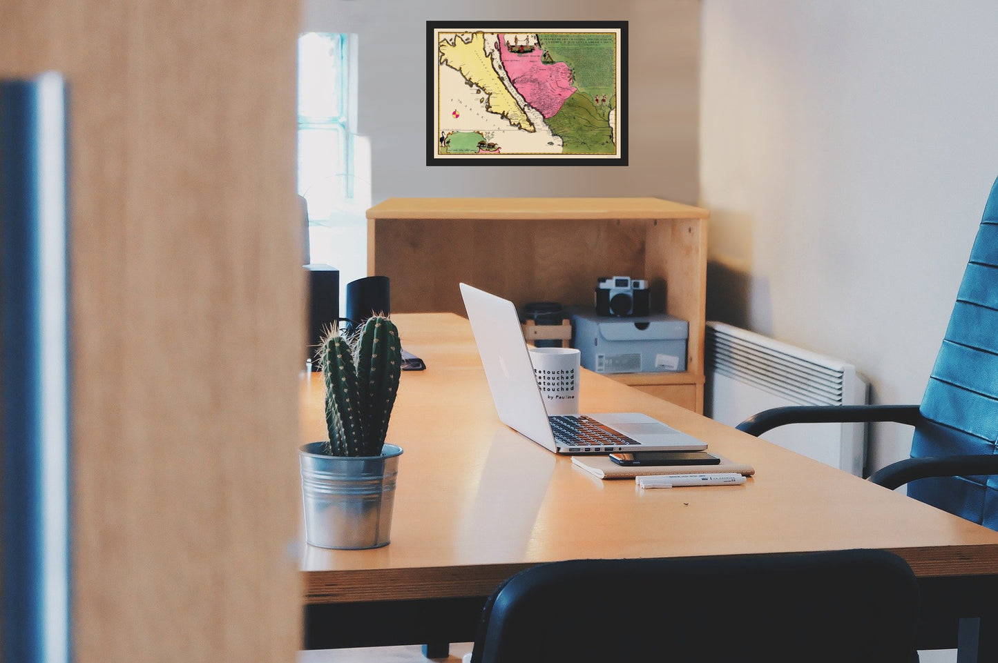
Old North America Map - California Island - De Fer 1720 - This is an exquisite full-color Reproduction printed on high-quality gloss paper, art paper or canvas.
Sites and Townships Specific To This Map Are: San Tiago, Santa Fe, St Luis Potosi, Zacatocas, Guadalayara, Ciudad de Mexio, and others.
The following towns are featured: De Fer's map is by far the largest map of California shown as an Island ever issued in regional format, and rivals several immense rare wall maps as the largest representation of all time. The map is essentially a dramatically enlarged edition of De Fer's map of 1700, which ironically derives directly from information provided by Fra. Kino, who had by then disproved the California as an Island myth, although Kino's earliest works were prominent in the cartographic depictions of California which appeared in De Fer's and Scherer's works. The inset text provides a history of California up to 1694 and Includes regional depictions of the Southwest.
This Map is Situated in: Mexico & United States, North America.
SKU: ITCA0029
Original Maps are often difficult to find and usually have fold lines, identifying stamps or markings, tears, ragged edges, and assorted other natural signs of age that detract from their beauty. All of our maps have been professionally restored to depict their original beauty, while keeping all historical data intact.
These maps are fabulous pieces of history full of information useful to Historians, Genealogists, Cartographers, Relic Hunters, & Others. They make fascinating conversation pieces and splendid works of art for the home or office. -
Bullet Points
-
Print Quality Details
Giclée Printing Process
“A giclée (zhee-clay) reproduction is the closest duplication of an original artwork that is humanly or technically achievable. We have used the giclee printing process on both the Ultrasmooth Fine Art Paper and the Cotton Canvas options to create truly magnificent map prints, the quality of which is recognized by museums and galleries around the world. Read more about Giclee Prints here.
Glossy Satin Photo
This is a very high quality, photo-grade, 8 mil thick paper. It is considered a "matte" finish, however it does have a slight sheen to it. It is a very nice paper and produces extremely attractive maps.
Matte Art
This archival fine-art media has the look and feel of old-world handmade paper and is great for producing sharp, accurate reproductions. The Giclee process, combined with a 8 mil thick paper, creates magnificent historical maps guaranteed not to fade, yellow, or crack for more than 100 years. The quality of these matte-finish maps is recognized by museums and galleries around the world.
Sites and Townships Specific To This Map Are: San Tiago, Santa Fe, St Luis Potosi, Zacatocas, Guadalayara, Ciudad de Mexio, and others.
The following towns are featured: De Fer's map is by far the largest map of California shown as an Island ever issued in regional format, and rivals several immense rare wall maps as the largest representation of all time. The map is essentially a dramatically enlarged edition of De Fer's map of 1700, which ironically derives directly from information provided by Fra. Kino, who had by then disproved the California as an Island myth, although Kino's earliest works were prominent in the cartographic depictions of California which appeared in De Fer's and Scherer's works. The inset text provides a history of California up to 1694 and Includes regional depictions of the Southwest.
This Map is Situated in: Mexico & United States, North America.
SKU: ITCA0029
Original Maps are often difficult to find and usually have fold lines, identifying stamps or markings, tears, ragged edges, and assorted other natural signs of age that detract from their beauty. All of our maps have been professionally restored to depict their original beauty, while keeping all historical data intact.
These maps are fabulous pieces of history full of information useful to Historians, Genealogists, Cartographers, Relic Hunters, & Others. They make fascinating conversation pieces and splendid works of art for the home or office.
Giclée Printing Process
“A giclée (zhee-clay) reproduction is the closest duplication of an original artwork that is humanly or technically achievable. We have used the giclee printing process on both the Ultrasmooth Fine Art Paper and the Cotton Canvas options to create truly magnificent map prints, the quality of which is recognized by museums and galleries around the world. Read more about Giclee Prints here.
Glossy Satin Photo
This is a very high quality, photo-grade, 8 mil thick paper. It is considered a "matte" finish, however it does have a slight sheen to it. It is a very nice paper and produces extremely attractive maps.
Matte Art
This archival fine-art media has the look and feel of old-world handmade paper and is great for producing sharp, accurate reproductions. The Giclee process, combined with a 8 mil thick paper, creates magnificent historical maps guaranteed not to fade, yellow, or crack for more than 100 years. The quality of these matte-finish maps is recognized by museums and galleries around the world.