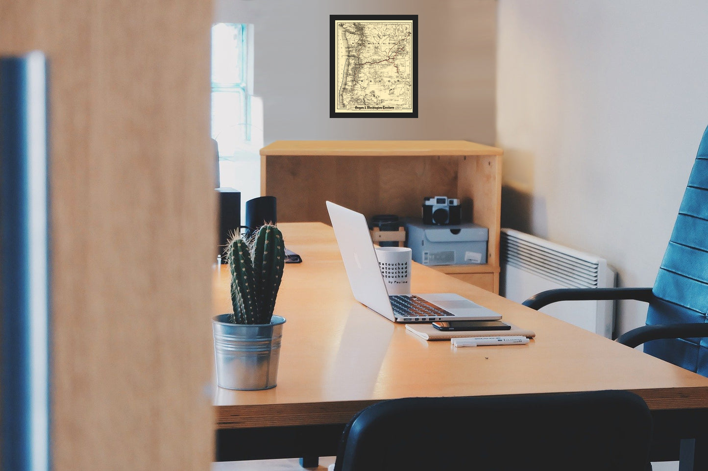
Railroad Map - Oregon and Washington Territory - Colton 1880 - Vintage Wall Art
Railroad Map - Oregon and Washington Territory - Colton 1880 - Vintage Wall Art


Product Number: SKU:USWC0004-2
Shipping: print gets shipped rolled
Couldn't load pickup availability


-
Description
Old Railroad Map - Oregon and Washington Territory - Colton 1880 - This is an exquisite full-color Reproduction printed on high-quality gloss paper, art paper or canvas.
Sites and Townships Specific To This Map Are: Ellensburg, Chetco, Waldo, Althouse, Grants Pass, Bandon, Looking Glass, Empire City, Coos Bay, Salem, Portland, Vancouver, Kitsap, Olympia, Sharon, Seattle, Ellenburg, Selah, Yakima, Deschutes, Willoughby, Linkville, Pendelton, Weston, Milton, Boise City, several military camps, and many other towns.
The following towns are featured: bodies of water including the Pacific Ocean, Puget Sound, the Columbia River, Rogue River, Coquille River, Snake River, the Owyhee River, and many others. Mountain ranges in the area are clearly named. Railway lines are color coded for Ocean & River lines owned and operated by the O.R'y & Nav. Co., Railway lines built & projected by O.R'y & Nav. Co., and Present connecting lines.
This Map is Situated in: Oregon (OR) and Washington (WA).
SKU: USWC0004
Original Maps are often difficult to find and usually have fold lines, identifying stamps or markings, tears, ragged edges, and assorted other natural signs of age that detract from their beauty. All of our maps have been professionally restored to depict their original beauty, while keeping all historical data intact.
These maps are fabulous pieces of history full of information useful to Historians, Genealogists, Cartographers, Relic Hunters, & Others. They make fascinating conversation pieces and splendid works of art for the home or office. -
Bullet Points
-
Print Quality Details
Giclée Printing Process
“A giclée (zhee-clay) reproduction is the closest duplication of an original artwork that is humanly or technically achievable. We have used the giclee printing process on both the Ultrasmooth Fine Art Paper and the Cotton Canvas options to create truly magnificent map prints, the quality of which is recognized by museums and galleries around the world. Read more about Giclee Prints here.
Glossy Satin Photo
This is a very high quality, photo-grade, 8 mil thick paper. It is considered a "matte" finish, however it does have a slight sheen to it. It is a very nice paper and produces extremely attractive maps.
Matte Art
This archival fine-art media has the look and feel of old-world handmade paper and is great for producing sharp, accurate reproductions. The Giclee process, combined with a 8 mil thick paper, creates magnificent historical maps guaranteed not to fade, yellow, or crack for more than 100 years. The quality of these matte-finish maps is recognized by museums and galleries around the world.
Sites and Townships Specific To This Map Are: Ellensburg, Chetco, Waldo, Althouse, Grants Pass, Bandon, Looking Glass, Empire City, Coos Bay, Salem, Portland, Vancouver, Kitsap, Olympia, Sharon, Seattle, Ellenburg, Selah, Yakima, Deschutes, Willoughby, Linkville, Pendelton, Weston, Milton, Boise City, several military camps, and many other towns.
The following towns are featured: bodies of water including the Pacific Ocean, Puget Sound, the Columbia River, Rogue River, Coquille River, Snake River, the Owyhee River, and many others. Mountain ranges in the area are clearly named. Railway lines are color coded for Ocean & River lines owned and operated by the O.R'y & Nav. Co., Railway lines built & projected by O.R'y & Nav. Co., and Present connecting lines.
This Map is Situated in: Oregon (OR) and Washington (WA).
SKU: USWC0004
Original Maps are often difficult to find and usually have fold lines, identifying stamps or markings, tears, ragged edges, and assorted other natural signs of age that detract from their beauty. All of our maps have been professionally restored to depict their original beauty, while keeping all historical data intact.
These maps are fabulous pieces of history full of information useful to Historians, Genealogists, Cartographers, Relic Hunters, & Others. They make fascinating conversation pieces and splendid works of art for the home or office.
Giclée Printing Process
“A giclée (zhee-clay) reproduction is the closest duplication of an original artwork that is humanly or technically achievable. We have used the giclee printing process on both the Ultrasmooth Fine Art Paper and the Cotton Canvas options to create truly magnificent map prints, the quality of which is recognized by museums and galleries around the world. Read more about Giclee Prints here.
Glossy Satin Photo
This is a very high quality, photo-grade, 8 mil thick paper. It is considered a "matte" finish, however it does have a slight sheen to it. It is a very nice paper and produces extremely attractive maps.
Matte Art
This archival fine-art media has the look and feel of old-world handmade paper and is great for producing sharp, accurate reproductions. The Giclee process, combined with a 8 mil thick paper, creates magnificent historical maps guaranteed not to fade, yellow, or crack for more than 100 years. The quality of these matte-finish maps is recognized by museums and galleries around the world.