Railroad Map - Pacific Railways - Colton 1887 - Vintage Wall Art
Railroad Map - Pacific Railways - Colton 1887 - Vintage Wall Art


Product Number: SKU:USWE0006-2
Shipping: print gets shipped rolled
Couldn't load pickup availability


-
Description
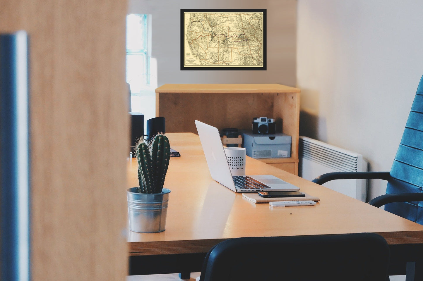
Old Railroad Map - Pacific Railways - Colton 1887 - This is an exquisite full-color Reproduction printed on high-quality gloss paper, art paper or canvas.
The following towns are featured: the Western United States, illustrating the railroads in operation and under construction west of the Mississippi River. The key at the lower left identifies the Central Pacific and it Branches, the Union Pacific and its Branches, the Central Branch of the Union Pacific, the Sioux City and Pacific, the Southern Pacific and its Branches and the maps funded by U.S. Bonds. This map of the Transmississippi West was published by the Colton firm in 1887 to accompany a massive report issued that year by the United States Pacific Railway Commission. The commission was created by an act of Congress that authorized President Grover Cleveland to appoint three commissioners to investigate the affairs of those Pacific railroads that had received federal aid. After many years, the amount and timing of the repayment to the government of the principal and interest of U.S. Pacific Railroad Bonds had generated much controversy. The scope of the investigat
SKU: USWE0006
Original Maps are often difficult to find and usually have fold lines, identifying stamps or markings, tears, ragged edges, and assorted other natural signs of age that detract from their beauty. All of our maps have been professionally restored to depict their original beauty, while keeping all historical data intact.
These maps are fabulous pieces of history full of information useful to Historians, Genealogists, Cartographers, Relic Hunters, & Others. They make fascinating conversation pieces and splendid works of art for the home or office. -
Bullet Points
-
Print Quality Details
Giclée Printing Process
“A giclée (zhee-clay) reproduction is the closest duplication of an original artwork that is humanly or technically achievable. We have used the giclee printing process on both the Ultrasmooth Fine Art Paper and the Cotton Canvas options to create truly magnificent map prints, the quality of which is recognized by museums and galleries around the world. Read more about Giclee Prints here.
Glossy Satin Photo
This is a very high quality, photo-grade, 8 mil thick paper. It is considered a "matte" finish, however it does have a slight sheen to it. It is a very nice paper and produces extremely attractive maps.
Matte Art
This archival fine-art media has the look and feel of old-world handmade paper and is great for producing sharp, accurate reproductions. The Giclee process, combined with a 8 mil thick paper, creates magnificent historical maps guaranteed not to fade, yellow, or crack for more than 100 years. The quality of these matte-finish maps is recognized by museums and galleries around the world.
The following towns are featured: the Western United States, illustrating the railroads in operation and under construction west of the Mississippi River. The key at the lower left identifies the Central Pacific and it Branches, the Union Pacific and its Branches, the Central Branch of the Union Pacific, the Sioux City and Pacific, the Southern Pacific and its Branches and the maps funded by U.S. Bonds. This map of the Transmississippi West was published by the Colton firm in 1887 to accompany a massive report issued that year by the United States Pacific Railway Commission. The commission was created by an act of Congress that authorized President Grover Cleveland to appoint three commissioners to investigate the affairs of those Pacific railroads that had received federal aid. After many years, the amount and timing of the repayment to the government of the principal and interest of U.S. Pacific Railroad Bonds had generated much controversy. The scope of the investigat
SKU: USWE0006
Original Maps are often difficult to find and usually have fold lines, identifying stamps or markings, tears, ragged edges, and assorted other natural signs of age that detract from their beauty. All of our maps have been professionally restored to depict their original beauty, while keeping all historical data intact.
These maps are fabulous pieces of history full of information useful to Historians, Genealogists, Cartographers, Relic Hunters, & Others. They make fascinating conversation pieces and splendid works of art for the home or office.
Giclée Printing Process
“A giclée (zhee-clay) reproduction is the closest duplication of an original artwork that is humanly or technically achievable. We have used the giclee printing process on both the Ultrasmooth Fine Art Paper and the Cotton Canvas options to create truly magnificent map prints, the quality of which is recognized by museums and galleries around the world. Read more about Giclee Prints here.
Glossy Satin Photo
This is a very high quality, photo-grade, 8 mil thick paper. It is considered a "matte" finish, however it does have a slight sheen to it. It is a very nice paper and produces extremely attractive maps.
Matte Art
This archival fine-art media has the look and feel of old-world handmade paper and is great for producing sharp, accurate reproductions. The Giclee process, combined with a 8 mil thick paper, creates magnificent historical maps guaranteed not to fade, yellow, or crack for more than 100 years. The quality of these matte-finish maps is recognized by museums and galleries around the world.