Railroad Map - Union Pacific Railroad Land Grant - Page 1880 - Vintage Wall Art
Railroad Map - Union Pacific Railroad Land Grant - Page 1880 - Vintage Wall Art


Product Number: SKU:NEZZ0024-2
Shipping: print gets shipped rolled
Couldn't load pickup availability


-
Description
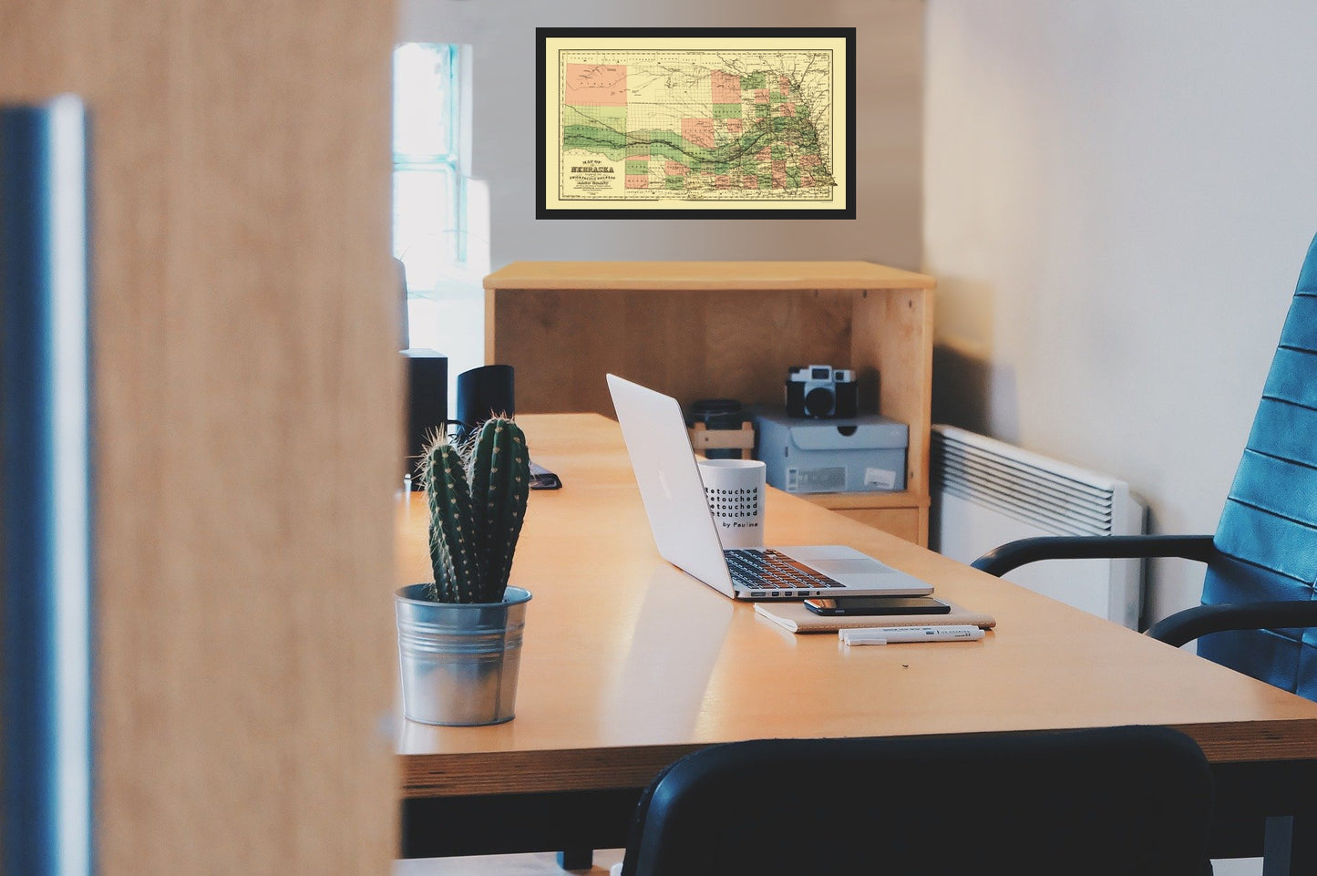
Old Railroad Map - Union Pacific Railroad Land Grant - Page 1880 - This is an exquisite full-color Reproduction printed on high-quality gloss paper, art paper or canvas.
Sites and Townships Specific To This Map Are: Lincoln, Seward, Dakota, Midland, Columbus, David City, Plattsmouth, Fairmont, Nebraska City, and Pierce.
The following towns are featured: township and county map showing drainage, cities and towns, and the Union Pacific Railroad of Nebraska. At the same time homesteaders were getting free land from the government, large tracts of land were granted to railroads by both the states and the federal government. The goal was to encourage the railroads to construct their tracks where few people lived, and to help settle the country. The federal government was especially interested in creating a transportation system that would link the eastern seaboard with the western coast. Not only would a transcontinental railroad help populate the Great Plains, but it would tie the country together and also provide links to the potentially rich Asian trade. Approximately 16 percent of Nebraska's total land mass was given to various railroad companies, eith
SKU: NEZZ0024
Original Maps are often difficult to find and usually have fold lines, identifying stamps or markings, tears, ragged edges, and assorted other natural signs of age that detract from their beauty. All of our maps have been professionally restored to depict their original beauty, while keeping all historical data intact.
These maps are fabulous pieces of history full of information useful to Historians, Genealogists, Cartographers, Relic Hunters, & Others. They make fascinating conversation pieces and splendid works of art for the home or office. -
Bullet Points
-
Print Quality Details
Giclée Printing Process
“A giclée (zhee-clay) reproduction is the closest duplication of an original artwork that is humanly or technically achievable. We have used the giclee printing process on both the Ultrasmooth Fine Art Paper and the Cotton Canvas options to create truly magnificent map prints, the quality of which is recognized by museums and galleries around the world. Read more about Giclee Prints here.
Glossy Satin Photo
This is a very high quality, photo-grade, 8 mil thick paper. It is considered a "matte" finish, however it does have a slight sheen to it. It is a very nice paper and produces extremely attractive maps.
Matte Art
This archival fine-art media has the look and feel of old-world handmade paper and is great for producing sharp, accurate reproductions. The Giclee process, combined with a 8 mil thick paper, creates magnificent historical maps guaranteed not to fade, yellow, or crack for more than 100 years. The quality of these matte-finish maps is recognized by museums and galleries around the world.
Sites and Townships Specific To This Map Are: Lincoln, Seward, Dakota, Midland, Columbus, David City, Plattsmouth, Fairmont, Nebraska City, and Pierce.
The following towns are featured: township and county map showing drainage, cities and towns, and the Union Pacific Railroad of Nebraska. At the same time homesteaders were getting free land from the government, large tracts of land were granted to railroads by both the states and the federal government. The goal was to encourage the railroads to construct their tracks where few people lived, and to help settle the country. The federal government was especially interested in creating a transportation system that would link the eastern seaboard with the western coast. Not only would a transcontinental railroad help populate the Great Plains, but it would tie the country together and also provide links to the potentially rich Asian trade. Approximately 16 percent of Nebraska's total land mass was given to various railroad companies, eith
SKU: NEZZ0024
Original Maps are often difficult to find and usually have fold lines, identifying stamps or markings, tears, ragged edges, and assorted other natural signs of age that detract from their beauty. All of our maps have been professionally restored to depict their original beauty, while keeping all historical data intact.
These maps are fabulous pieces of history full of information useful to Historians, Genealogists, Cartographers, Relic Hunters, & Others. They make fascinating conversation pieces and splendid works of art for the home or office.
Giclée Printing Process
“A giclée (zhee-clay) reproduction is the closest duplication of an original artwork that is humanly or technically achievable. We have used the giclee printing process on both the Ultrasmooth Fine Art Paper and the Cotton Canvas options to create truly magnificent map prints, the quality of which is recognized by museums and galleries around the world. Read more about Giclee Prints here.
Glossy Satin Photo
This is a very high quality, photo-grade, 8 mil thick paper. It is considered a "matte" finish, however it does have a slight sheen to it. It is a very nice paper and produces extremely attractive maps.
Matte Art
This archival fine-art media has the look and feel of old-world handmade paper and is great for producing sharp, accurate reproductions. The Giclee process, combined with a 8 mil thick paper, creates magnificent historical maps guaranteed not to fade, yellow, or crack for more than 100 years. The quality of these matte-finish maps is recognized by museums and galleries around the world.