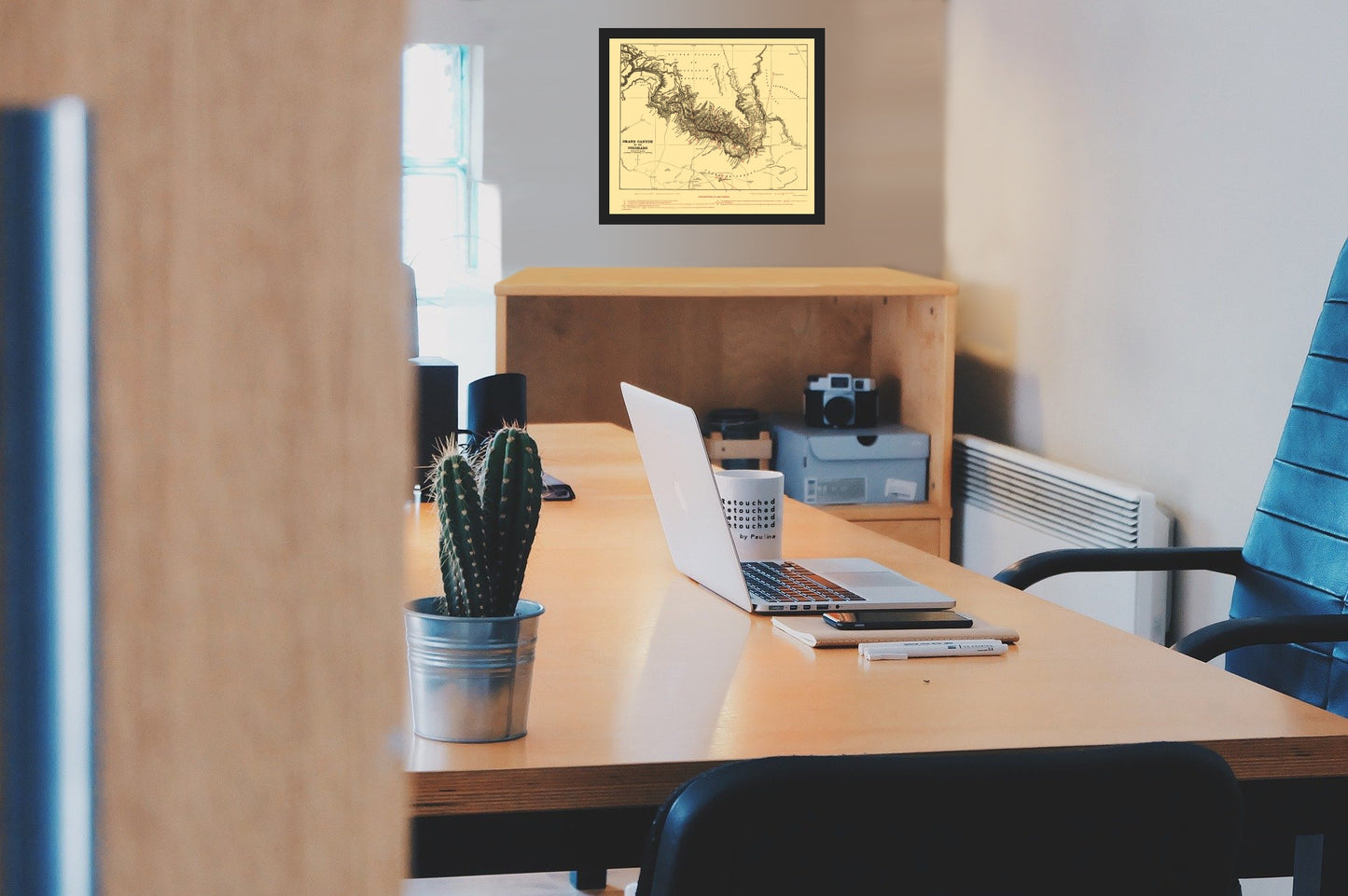
Topographical Map - Grand Canyon Arizona - Underwood 1904 - Vintage Wall Art
Topographical Map - Grand Canyon Arizona - Underwood 1904 - Vintage Wall Art


Product Number: SKU:AZCO0002-2
Shipping: print gets shipped rolled
Couldn't load pickup availability


-
Description
Topographical Map Print - Grand Canyon Arizona - Underwood 1904 - This is an exquisite full-color Reproduction printed on high-quality gloss paper, art paper or canvas.
The following towns are featured: the Colorado River, Kanab River, Little Colorado River, Shiny Creek, Tapeats Creek, Bright Angel Creek, Crystal Creek, Tank Creek, Hermit Creek, Serpentine Creek, Kalibab Plateau,Buckskin Mountain, Apache Point, Hualpui Point, Havasupai Point, Point Pecos, Point Acoma, Hermit Point, Point Sublime, Point Jupiter, Bright Angel Point, Thunder Point, Rowe's Point, Sentinel Point, Point Eternity, Point Grant, Point Ashrust, Cremation Point, Point Morton, Grand View Point, Signal Point, Point Orient, Castle Point, Sunset Point, Point Ripley, Point Bissell, Point Hollenbeck, Point Lincoln, Greenland Point, Navajo Point, Fossil Bay, Masonic Temple, Shivas Temple, Surprise Valley, Muav Canyon, Oroaster Tower, Angel's Gateway, Newberry Terrace, Vishnu Temple, Sheba Temple, Solomon Temple, The Cove, Grand View Trail, Cabins, Hance Cove, Sape Split, Morris Voce, Ruins, Tanner Trail, Colosseum Needle, Marble Canyon, Painted
SKU: AZCO0002
Original Maps are often difficult to find and usually have fold lines, identifying stamps or markings, tears, ragged edges, and assorted other natural signs of age that detract from their beauty. All of our maps have been professionally restored to depict their original beauty, while keeping all historical data intact.
These maps are fabulous pieces of history full of information useful to Historians, Genealogists, Cartographers, Relic Hunters, & Others. They make fascinating conversation pieces and splendid works of art for the home or office. -
Bullet Points
-
Print Quality Details
Giclée Printing Process
“A giclée (zhee-clay) reproduction is the closest duplication of an original artwork that is humanly or technically achievable. We have used the giclee printing process on both the Ultrasmooth Fine Art Paper and the Cotton Canvas options to create truly magnificent map prints, the quality of which is recognized by museums and galleries around the world. Read more about Giclee Prints here.
Glossy Satin Photo
This is a very high quality, photo-grade, 8 mil thick paper. It is considered a "matte" finish, however it does have a slight sheen to it. It is a very nice paper and produces extremely attractive maps.
Matte Art
This archival fine-art media has the look and feel of old-world handmade paper and is great for producing sharp, accurate reproductions. The Giclee process, combined with a 8 mil thick paper, creates magnificent historical maps guaranteed not to fade, yellow, or crack for more than 100 years. The quality of these matte-finish maps is recognized by museums and galleries around the world.
The following towns are featured: the Colorado River, Kanab River, Little Colorado River, Shiny Creek, Tapeats Creek, Bright Angel Creek, Crystal Creek, Tank Creek, Hermit Creek, Serpentine Creek, Kalibab Plateau,Buckskin Mountain, Apache Point, Hualpui Point, Havasupai Point, Point Pecos, Point Acoma, Hermit Point, Point Sublime, Point Jupiter, Bright Angel Point, Thunder Point, Rowe's Point, Sentinel Point, Point Eternity, Point Grant, Point Ashrust, Cremation Point, Point Morton, Grand View Point, Signal Point, Point Orient, Castle Point, Sunset Point, Point Ripley, Point Bissell, Point Hollenbeck, Point Lincoln, Greenland Point, Navajo Point, Fossil Bay, Masonic Temple, Shivas Temple, Surprise Valley, Muav Canyon, Oroaster Tower, Angel's Gateway, Newberry Terrace, Vishnu Temple, Sheba Temple, Solomon Temple, The Cove, Grand View Trail, Cabins, Hance Cove, Sape Split, Morris Voce, Ruins, Tanner Trail, Colosseum Needle, Marble Canyon, Painted
SKU: AZCO0002
Original Maps are often difficult to find and usually have fold lines, identifying stamps or markings, tears, ragged edges, and assorted other natural signs of age that detract from their beauty. All of our maps have been professionally restored to depict their original beauty, while keeping all historical data intact.
These maps are fabulous pieces of history full of information useful to Historians, Genealogists, Cartographers, Relic Hunters, & Others. They make fascinating conversation pieces and splendid works of art for the home or office.
Giclée Printing Process
“A giclée (zhee-clay) reproduction is the closest duplication of an original artwork that is humanly or technically achievable. We have used the giclee printing process on both the Ultrasmooth Fine Art Paper and the Cotton Canvas options to create truly magnificent map prints, the quality of which is recognized by museums and galleries around the world. Read more about Giclee Prints here.
Glossy Satin Photo
This is a very high quality, photo-grade, 8 mil thick paper. It is considered a "matte" finish, however it does have a slight sheen to it. It is a very nice paper and produces extremely attractive maps.
Matte Art
This archival fine-art media has the look and feel of old-world handmade paper and is great for producing sharp, accurate reproductions. The Giclee process, combined with a 8 mil thick paper, creates magnificent historical maps guaranteed not to fade, yellow, or crack for more than 100 years. The quality of these matte-finish maps is recognized by museums and galleries around the world.